
SkyFire and SkyShark: AI vision for civil protection
EVAVEO is building AI vision modules that run on drones for civil protection. SkyFire spots fire and smoke early, SkyShark detects sharks near beaches.
EVAVEO is developing a suite of AI vision tools for civil protection. The principle never changes: an off-the-shelf drone, an AI that analyses the video feed in real time, and an automatic alert chain to the operators. Everything runs on consumer hardware, with no lock-in to a single supplier.
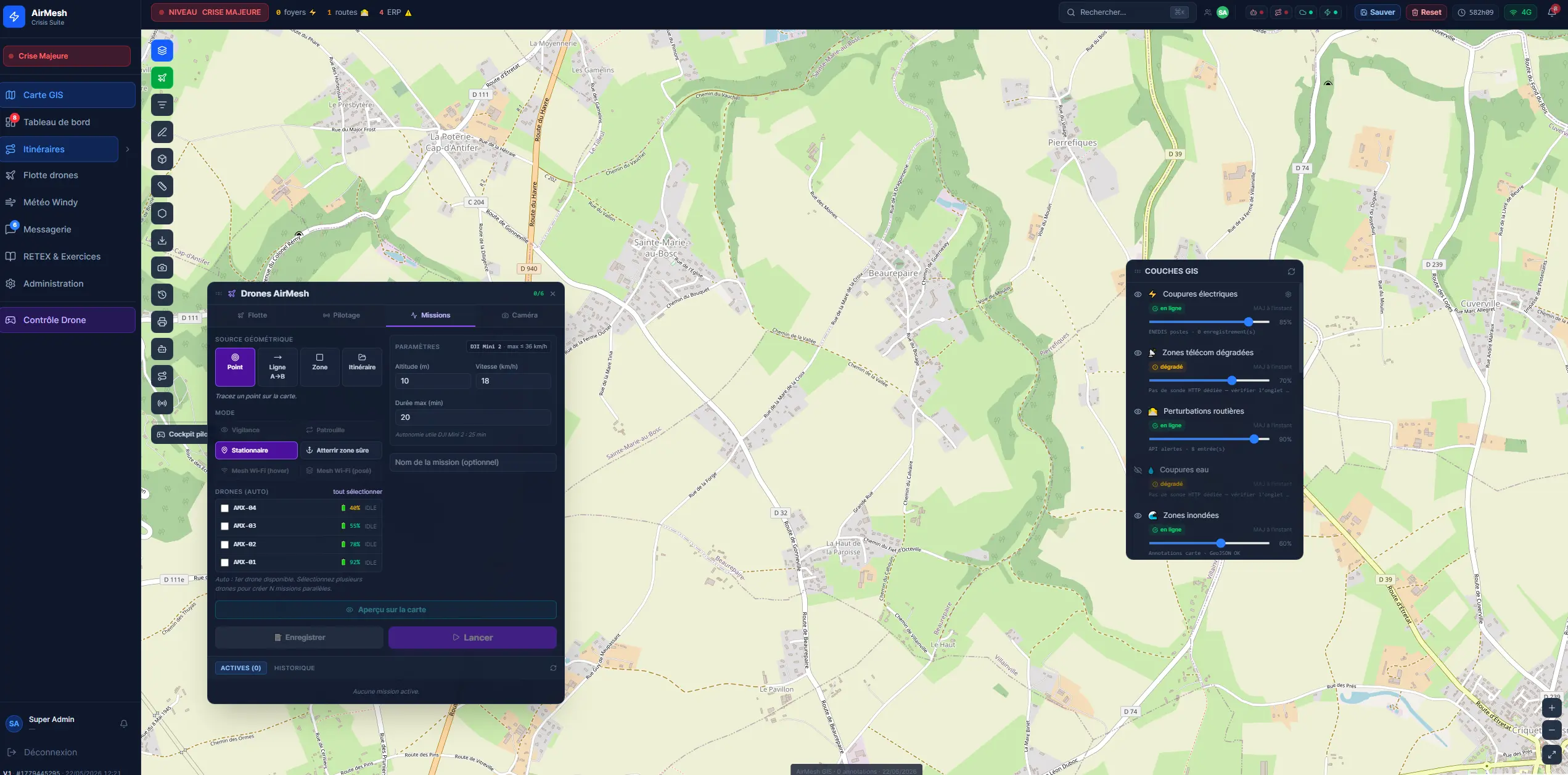
It all runs on our drone management system, controlled from a mapping application. The operator draws the area to monitor on a map, deploys the drone remotely and follows its movements live. They start the autonomous patrol and switch on AI detection whenever they choose.
SkyFire monitors high-risk areas and spots fire and smoke before a blaze takes hold. The drone patrols on its own, the AI picks out flames and smoke in every frame at around 33 frames per second, then automatically alerts the emergency services with the GPS position of the fire. Version 9 reaches a 99% detection rate on the D-Fire benchmark dataset.
SkyShark applies the same architecture to beach surveillance: it detects sharks, swimmers and boats in real time. The module was developed with the Centre de Sécurité Requin on Réunion Island, using public scientific datasets.
These modules share one belief: used well, AI vision buys emergency services precious time, as long as it stays simple, accessible and fully under control from end to end.
At a glance
- Initiative
- EVAVEO, applied AI research
- Modules
- SkyFire (fire and smoke), SkyShark (sharks)
- Discipline
- Computer vision, embedded AI
- SkyShark partner
- Centre de Sécurité Requin
- Hardware
- Consumer drone, operator PC
- Control
- Mapping app, remote deployment and tracking
- SkyFire performance
- 99% detection, ~33 frames per second
Detect, monitor, alert
Detect early
- Spot the smoke before the flames, the danger before the accident
- Analyse every frame in real time, up to 33 frames per second
Monitor autonomously
- Scheduled drone patrols over high-risk areas
- Mapping and GPS location of every detection
Alert without delay
- Automatic notification of operators and emergency services
- Annotated image, GPS position and confidence level sent with each alert